(O4) Global review of submarine geohazard risks to offshore renewable energy

Based on the data collected in O1-O3, the TGSG will propose a roadmap for a safe and secured sustainable offshore development. A global interactive review of submarine geohazard risks will be developed for regions where sustainable offshore developments have been identified. Risks, including volcanic eruptions, earthquakes, tsunamis, liquefaction, mud volcanoes and seabed morphologic variations will link directly back to outputs from O1-O3. A submarine geohazard map for offshore renewable energy development (D4) as a benchmark will initially be hosted by SSSGR. National development funding will be sought to develop the risk map into a stand-alone, publicly accessible resource platform.
The research in O4 aims to conduct basic research prior to formulating guidelines for assessing submarine geohazard risks for constructing and maintaining offshore wind farms. The submarine geohazards are assumed to be submarine landslides, turbidity currents, shallow gas, mud volcanoes, liquefaction, tsunamis, sand deposition, erosion and movement, etc., but their distribution, frequency, and scale are unclear. Therefore, we will compile the existing available data on the continental shelf where the offshore wind farms are planned to be constructed, and create a seafloor geohazard distribution map. Through these efforts, we aim to create a draft guideline for research and construction.
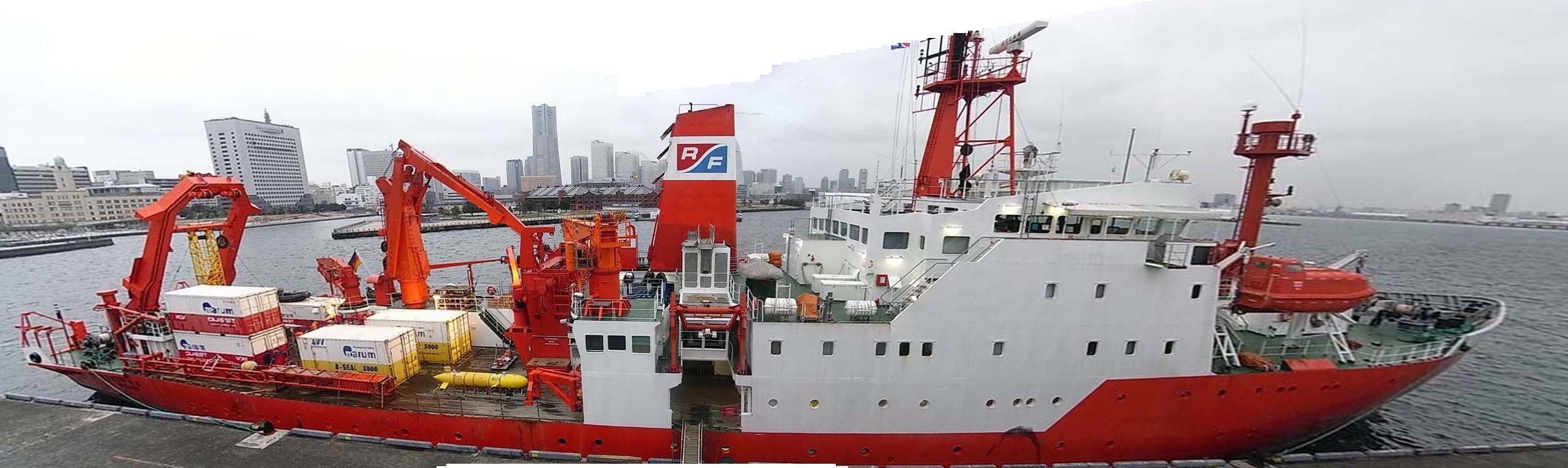
Considering that continental margins around Japan present various types of geohazard risks, as a benchmark, O4 aims to create a seafloor geohazard distribution map on the continental shelf up to a water depth of about 100 m around Japan. Sonic exploration data on the Japanese continental shelf have already been acquired by the Japan Coast Guard, National Institute of Advanced Industrial Science and Technology (AIST), and Japan Agency for Marine-Earth Science and Technology (JAMSTEC), and these data will be compiled and analyzed. The compilation will be done with the cooperation of Dr. Tomoyuki Sato, who is engaged in the management of sound wave exploration data at AIST and has a track record. Publications such as submarine geology maps have already been published using existing data, and with reference to them, the flow paths of the assumed submarine landslides and turbidity currents, the shallow gas distribution area and other potential geohazard features, such as active faults, volcanic intrusions, etc., will be identified. Five evaluation items of the sand sediment distribution area and the assumed liquefaction distribution area will be extracted, and a submarine geohazard distribution map will be created.
A goal of O4 is to create a benchmark geohazard map as follows:
1) The detailed seafloor topography data at SW Japan will be obtained from the Japan Coast Guard. Although the topographical data depends on the year of acquisition, there are paper-based data with different positioning systems.
2) We will convert those old data into currently available digital data.
3) We will interpret the data in collaboration with Dr. Jih-Hsin Chang and several other researchers of the National Taiwan University and Dr. Sato of AIST. The data includes the seafloor topography data converted above and the chirp sonar data owned by AIST. Then, the seafloor topography data will be drawn and the topography will be discriminated.
4) Chirp sonar profile data present very high resolution 2D cross section images of the substrata down to several tens of meters below seafloor. We will interpret them and integrate a grid of 2D profiles to 3D data with various technical advices from Dr. Uisdean Nicholson and Prof. Jan Sverre Laberg. As a result, the 3D interpreted substrata data are drawn on the seafloor topographic map.
5) Based on these works, we consider the sedimentation processes of each layer in the 3D chirp sonar data. In particular, the five evaluation items to be examined are the assumed submarine landslide flow path, the assumed turbidity current flow path, the shallow gas distribution area, the completely moving sand body distribution, and the assumed liquefaction distribution.
Finally, we make a submarine geohazard distribution map based on the study results described above. We first study around Japan, but it is only a kickoff case study to produce a submarine geohazard map. We would like to create submarine geohazard maps in all the necessity regions in the world on the basis of the skills and procedures.
タグ:TGSG